System for water resource management
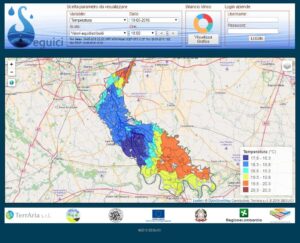
The SEGUICI project is part of the water resources framework through the development of new technological solutions aimed at optimizing water resource management resulting in the optimization of water use for irrigation and civil use. The project sees the development of a regionally based operational information technology platform capable of collecting, processing and organizing, knowledge about different water systems in order to be able to support the provisions of regional directives through integrated knowledge.
The smart platform of SEGUICI thus constitutes a modern water system monitoring and management system that is modular and easily extensible to other geographical areas. It consists of two modules: the civil use application module for leakage detection and resilience analysis of distribution infrastructure, and the irrigation use application module for forecasting crop irrigation requirements.
IL RUOLO DI TERRARIA
TerrAria was responsible for the implementation of the irrigation use module, which provides an indication of crop irrigation requirements through soil moisture prediction, which is done by integrating a meteorological model with a hydrological model to assess the real water requirements of crops and maintain soil moisture within optimal values for maximizing crop production. The models are fed with ground data and satellite imagery/data both at the initialization stage to improve forecasting performance and at the requirement prediction stage. TerrAria built the entire modeling chain, implemented the WRF weather model (configured and validated on the area of interest), and developed the Information System.


