Nowadays, the use of geolocated data and geographic information has become essential, especially with a view to spatial analysis, making the sharing and visualization of geospatial data more immediate.
WebGIS are geographic information systems published on the Web. So, after the acquisition, validation, processing and analysis of geospatial information of interest, the results are published on the Web and made accessible to users. In this way, GIS is no longer limited to a single machine, but the data, features, and catalogs are all available via the Internet.
WebGIS allow interoperability of geospatial data and functionality, ensuring interaction between different machines through a network. In particular, the most significant examples of interoperable elements required for Web-based GIS are catalogs (metadata collections), data archives, viewers, and editing systems, which make it possible to view and process any type of geospatial data without requiring a specific unit.
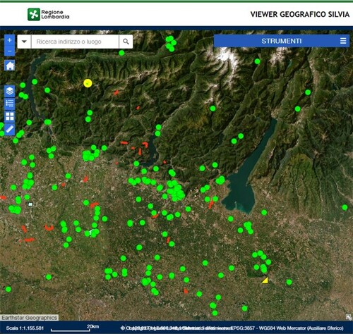
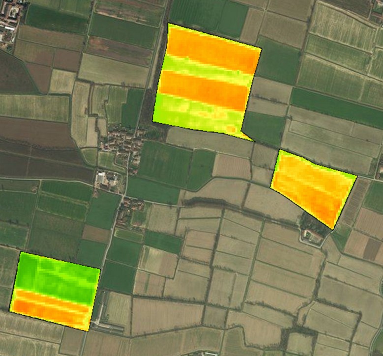
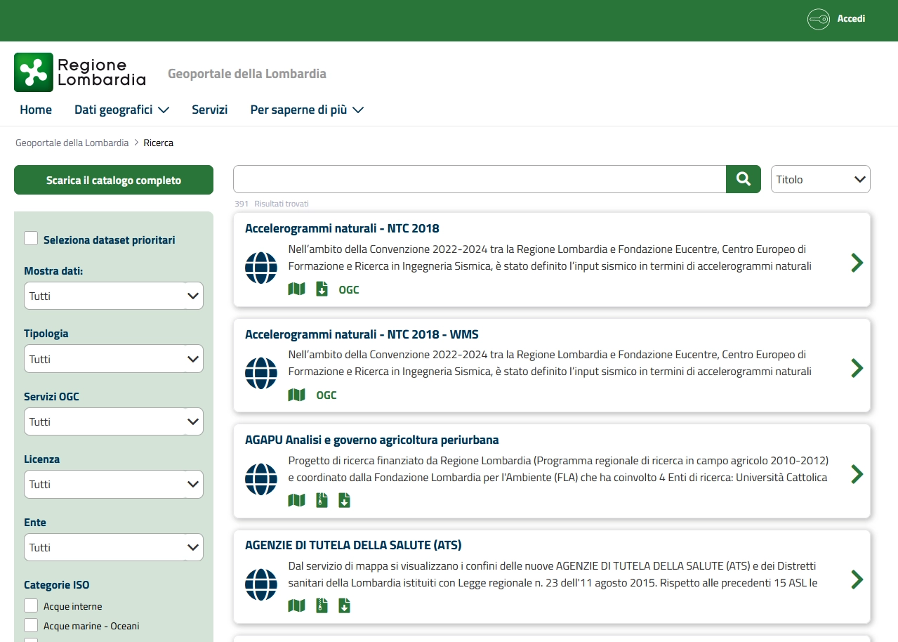
TerrAria’s work is precisely in this perspective, and in particular, we are involved in the creation of WebGISs, including SILVIA (Lombard Information System for Environmental Impact Assessment), ViGIS (Vegetation Index Geographic Information System) and the Geoportal of Lombardy, that allow users to view and query geospatial information, process it with specific tools, and obtain and download the results obtained by applying spatial filters.

 Software design and development


