Noise and population exposed evaluation
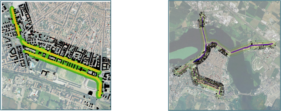
Noise Mapping describes the present or projected noise situation to identify the number of citizens exposed to excessive levels of noise and guides the responsible entities in choosing a suitable mitigation strategy. The entities that must prepare the Mapping are agglomerations with more than 250’000 inhabitants, entities operating public transport services (such as municipalities, metropolitan cities, and provinces) with road axes on which more than 3’000’000 vehicles pass per year, rail axes on which more than 60’000 convoys pass per year, and major airports. The validity of the Mapping is 5 years.
Acoustic Mapping therefore allows for the assessment of sound isolivels related to the different environmental indicators (Lden, Lnight), the population exposed to the different noise classes, and the number of sensitive receptors present within the different noise belts. Once any criticalities have emerged, possible mitigation interventions on the different areas of the territory are identified, described, analyzed and quantified within the relevant Action Plan.
Among the possible interventions there are:
- Establishment of restricted traffic zones;
- Construction of traffic circles;
- Noise barriers;
- Installation of speed bumps;
- Road resurfacing;
- Sound-absorbing asphalt.
CUSTOMERS
With respect to the last round of presentation of Acoustic Mapping, TerrAria assisted the Municipality of Reggio Emilia, the Municipality of Arcore, the Municipality and Province of Cremona, and the Municipality and Province of Mantua in drawing up the necessary documentation in compliance with Legislative Decree 194/2005.